Methods and Community
Methods and Community in Asian Remote Sensing
A map is only as good as its ground checks, its tools and the people who argue about it. Field validation, free software and the ACRS circuit.
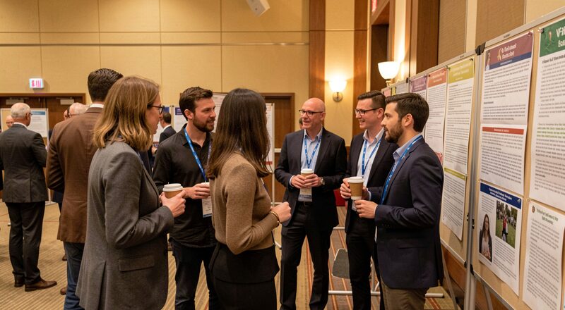
Maps do not make themselves, and they do not certify themselves either. Behind every flood mask, paddy estimate and growth map surveyed in the first two sections of this magazine stands a layer of craft and a community of people: field teams who walk the ground the pixels describe, software traditions that turned preprocessing into a button, and a regional association that has gathered the field's practitioners every year since 1980. This section follows that human infrastructure, because it is what separates remote sensing that is trusted from remote sensing that is merely published.
Why validation is the heart of the discipline
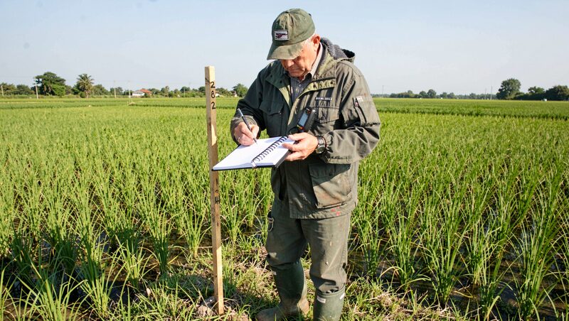
The core temptation of satellite work is the clean image: the map looks right, the colours agree with expectations, and the temptation is to ship it. The discipline of the field says otherwise. A classifier that has never been tested against known ground can be confidently wrong across an entire delta, and in the applications this magazine covers, food forecasts, flood response, urban planning, confidently wrong maps reach ministries. Validation, checking mapped categories against points whose truth was established independently, is the step that converts a plausible picture into evidence. The guide to ground truth field work walks through how those points are gathered in Asian conditions, and the habits that keep them honest, from sampling design to the field notebook.
The tools that democratised the trade
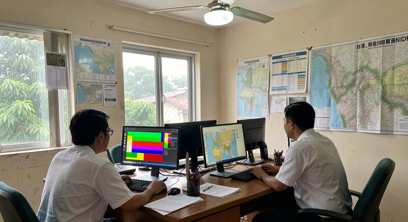
A generation ago, a regional team needed expensive licensed software and a room of workstations to build a season's time series. Today the same work runs in two free traditions. Cloud platforms, led by Google Earth Engine, hold the archives already ingested and run the computation beside the data, so a rice-map prototype that once took a laboratory a month can be drafted in an afternoon. Desktop geographic information systems, led by QGIS, keep the full chain on the analyst's own machine, offline and inspectable, which matters in exactly the district offices where connectivity is weakest. The guide to Google Earth Engine and QGIS compares the two styles honestly, because the choice between them is a real project decision, with costs, limits and a learning curve on each side.
The community that meets every year
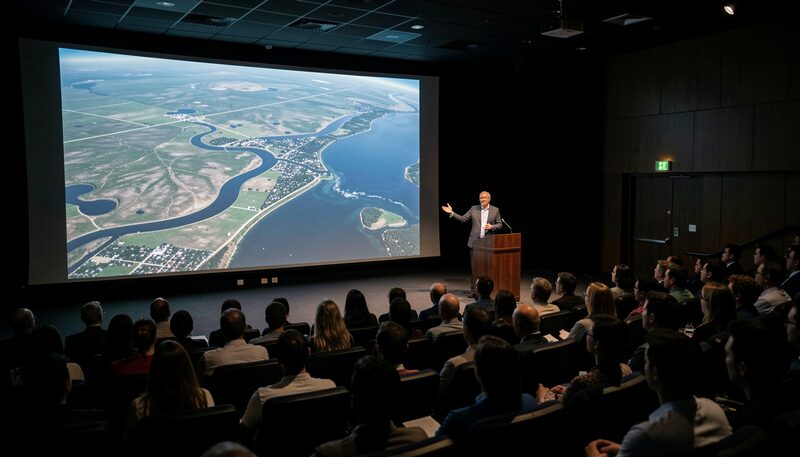
Asian remote sensing has had an annual gathering place since 1980, when the first Asian Conference on Remote Sensing met under the sponsorship of what became the Asian Association on Remote Sensing, founded the following year. The conference has convened every year since, rotating through host cities across the region, and it grew into the event where national delegations, university laboratories and students present work side by side, in English, to the whole continent. The guide to the ACRS conference explains what the meeting is, how newcomers navigate it, and what a first-timer should bring home besides the proceedings USB stick. Few scientific communities of any size can point to an unbroken annual record of this length, across the very years the region's satellite programmes multiplied.
The archive the community left behind
Every conference deposits a sediment: thousands of papers, printed in proceedings volumes for the early decades and digital afterwards, that together record how Asian remote sensing actually developed, technique by technique and country by country. The guide to the ACRS proceedings archive explains how that record is organised, what it is good for, and why even its old papers stay useful, as baselines, as method ancestors, and as the primary history of the field outside the journal literature. Historians of technology are beginning to work it; practitioners more often mine it for the first appearance of a method now standard. This magazine sits, deliberately, in the same stream, a third-party publication that reads the field from outside its institutions while taking its record seriously.
What ties the craft to the community
The connection is not decorative. The validation culture described in the first part of this section is enforced socially: it is the conference question a presenter must survive, the reason a paper without an accuracy figure draws quiet frowns in the session hall. The free tools are community artefacts as much as software products, their tutorials, plugins and forum answers written by the same people who attend the regional meetings. And the annual gathering is where the trust is built that later lets a flood team in one country use a classifier validated in another. Methods, tools and community are one system observed from three angles, and the international societies that link the regional community to the wider discipline, such as ISPRS, the International Society for Photogrammetry and Remote Sensing, complete the loop toward the global field.
How to read this section
Readers arriving from the data-oriented sections can take these four guides as the answer to a fair question: who guarantees all this? The guarantee is the discipline described in ground truth, practised with the tools of Earth Engine and QGIS, argued over at the conference surveyed in the conference guide, and recorded for posterity in the proceedings archive. Readers who want the applications first should return to the section on land, water and cities and its predecessor on choosing satellite data, then come back here when the maps start to matter.

Methods and Community
The ACRS Proceedings, Year by Year
Four decades of Asian Conference on Remote Sensing papers, from mimeographed 1980 sessions to PDF sessions: what the proceedings hold and where to find them.
Four decades of papers, free to read.
Methods and Community
Ground Truth: Validating Satellite Maps in the Field
Every land-cover map rests on points someone walked to. How field campaigns are planned, what a GPS record proves, and why honesty about errors matters.
Map points someone walked to.
Methods and Community
Google Earth Engine and QGIS: Free Analysis Tools
One tool computes on petabytes in the cloud, the other runs offline on a district laptop. How QGIS and Earth Engine share one analysis workflow.
Petabytes in the cloud, finished maps on a laptop.
Methods and Community
ACRS: Asia's Annual Remote Sensing Conference
Since 1980 the Asian Conference on Remote Sensing has moved from capital to capital, publishing open proceedings. What happens there and how to take part.
The annual meeting, capital to capital since 1980.