Methods and Community
ACRS: Asia's Annual Remote Sensing Conference
Since 1980 the Asian Conference on Remote Sensing has moved from capital to capital, publishing open proceedings. What happens there and how to take part.
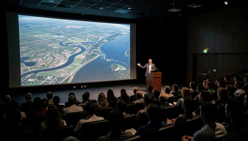
Every year since 1980, with a continuity few conferences of any kind can claim, the Asian Conference on Remote Sensing has convened somewhere in Asia: capital cities, provincial hubs, university halls, rotating among host countries with a rhythm that has itself become part of the field's identity. The event belongs to the Asian Association on Remote Sensing, the society founded in 1981 to carry it, and it functions as the region's general assembly of satellite mapping, the place where national programmes, university laboratories, agencies and students present their year's work side by side. This guide, written from outside the association as an independent publication, explains what the conference is, why its continuity matters, and how a newcomer gets the most from it.
What the meeting actually is
The format has stayed recognisable across the decades. Several parallel technical sessions run for three or four days, grouped by theme, the same themes this magazine organises around: data and sensors, applications to land, water and cities, methods and education. Presentations are short, questions are direct, and the working language is English, which makes the event one of the few rooms where a delegation from one Asian country's space agency hears a provincial university team from another present on the same morning. Alongside the sessions sit exhibitions by data distributors, space agencies and instrument makers, and the corridors do what corridors at such conferences always do, which is where collaborations actually form. The recent editions illustrate the rotation: the forty-fifth conference met in Colombo in 2024, and the forty-sixth in Makassar in 2025.
Why an annual record this long matters
Forty-six consecutive editions is not a vanity statistic. It means the conference met through the decades in which Asian remote sensing grew from a handful of imported receiving stations to continental fleets of national satellites, and the composition of its delegate lists records that growth year by year. It means the community kept an annual habit across the years when travel, budgets and regional circumstances made convening hard, a continuity the association itself treats as its founding achievement. And it means that a method now standard in the region usually has a first, awkward, honest presentation somewhere in the back catalogue, which is one reason the guide to the ACRS proceedings archive treats those volumes as working history rather than shelf decoration. Even the occasional celebrity contact left its trace: for an anniversary edition, the conference received a message of support from Arthur C. Clarke, the writer who made his home in Colombo, a fitting patron saint for a field he had done much to imagine.
Who presents, and what
The paper profile is distinctive and worth knowing before a first visit. Alongside the polished application studies, the sessions have always welcomed national progress reports, the frank country-by-country accounts of what each space programme launched, lost, distributed and learned, which are exactly the documents a regional analyst cannot find in journals. Student work appears in force, and the association has long given young researchers their first international stage here. Presenters lean practical: a flood mapping chain tested on one province, a classifier compared on one delta, a field campaign's lessons, in the spirit of the validation discipline described under ground truth. The standard is uneven by journal measures, and deliberately so, because the conference's function is circulation more than certification, letting working knowledge cross borders at a pace journals do not attempt.
How a newcomer should prepare
Preparation pays more than conference fee money anywhere else. Read the last edition's programme before choosing what to attend, since themes repeat and the session names alone carry recent regional priorities. Arrive with one question the event should answer, a sensor decision, a data access problem, a contact in a neighbouring country's agency, because the exhibition and the coffee breaks answer such questions faster than the sessions do. Bring business cards despite the decade, since delegations still trade them, and a short description of your own work deliverable in ninety seconds, twice: once technically, once for a general administrator. If presenting, the working advice is old and sound: state the question in one sentence, show the map, show the accuracy, sit down. Sessions run on time, and the question you most want will come from the person you should have met anyway.
What a first-timer brings home
Attenders tend to return with the same three assets. The first is the proceedings, now digital, the record surveyed in the guide to the ACRS proceedings archive and the fastest way to reconstruct who works on what across the region. The second is a contact map, the names behind the national reports and the student presentations, which turns a future email into an introduction rather than a cold approach. The third is calibration of one's own work: seeing forty countries' worth of problems and budgets resets what counts as ambitious, and many a project scope has been corrected by a corridor conversation with a team that tried the same thing under harder conditions. Readers who want the current edition's dates, venue and submission deadlines should consult the association's own website, acrs-aars.org, which remains the authoritative source for everything this guide deliberately does not guess at.
The view from outside
This magazine writes about the conference as an observer, not an organ, and that distance is worth stating plainly. The association and its annual meeting are the institutions; we are a publication that finds their record valuable and their continuity remarkable, in the same spirit as the wider survey of methods and community. For readers new to Asian remote sensing, one attendance, even as a quiet listener, teaches the shape of the field faster than any reading, and for readers who never attend, the proceedings left behind let most of the value travel anyway, from the conference halls of the past four decades into any laptop in the region, alongside the data sources catalogued in choosing satellite data for work in Asia.