Satellites and Data
Asia's Own Earth Observation Satellites
Japan's ALOS, India's Cartosat, Korea's KOMPSAT, Thailand's THEOS and China's Gaofen fleet: what each national mission observes and who can order its images.
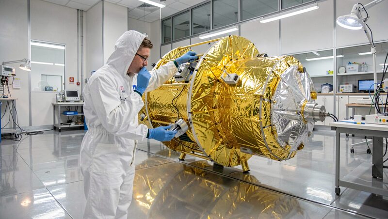
Asia does not only watch the world's satellites; it flies its own. Japan, India, China, Korea, Thailand and their neighbours operate civil Earth observation fleets whose data feeds national mapping, disaster response and agriculture, and whose best scenes rank with the sharpest civil images anywhere. This guide surveys the main national programmes, what each one observes, and the practical question that follows: who is allowed to order the pictures.
Japan: the ALOS radar family
The Japan Aerospace Exploration Agency, JAXA, launched its Advanced Land Observing Satellite, nicknamed Daichi, in 2006, carrying both a ten-metre optical camera and PALSAR, an L-band radar that became a regional reference for forest and ground-motion work. Its successor ALOS-2, flying since 2014, carries an improved L-band radar and remains a workhorse for flood and subsidence monitoring across monsoon Asia, because long radar wavelengths hold signal over vegetation where shorter bands scatter. The programme's route since has been eventful: ALOS-3 was lost with the failed first flight of the H3 rocket in March 2023, and ALOS-4 reached orbit on the same rocket's successful return in June 2024. JAXA distributes research scenes through its own portal, and the mission's information pages remain the reference for what the family can observe.
India: the longest national series
The Indian Space Research Organisation began its Indian Remote Sensing series with IRS-1A in 1988 and has since built one of the widest civil portfolios in the world. The Resourcesat satellites carry multispectral cameras for agriculture and land cover, the Cartosat line pushes optical resolution toward the sub-metre class, and the RISAT radar satellites image through cloud and at night, a capability India exercised publicly during flood and cyclone response. The National Remote Sensing Centre serves the archive through the Bhuvan geoportal, which layers Indian satellite products over a public map. Access tiers separate open web products from full-resolution scenes, which research and government users request through formal channels.
China: constellations at scale
China operates the largest civil Earth observation programme in the region. The Gaofen, high-resolution, series has grown since 2013 into a constellation mixing fine optical imagers, radars and hyperspectral instruments serving the national high-resolution Earth observation system. Alongside it, the Ziyuan-3 satellites collect stereoscopic pairs for topographic mapping, and the China-Brazil Earth Resources Satellites, CBERS, have distributed moderate-resolution scenes to both Chinese and Brazilian users since the late 1980s cooperation began. Much of the sharpest Chinese imagery circulates through domestic channels and selected international distributors, while sample products are published through the China Centre for Resources Satellite Data and Application. For regional studies, Chinese missions matter most where continuity and coverage count, as in the long land-cover records of continental East Asia.
Korea and Thailand: sharp national instruments
Korea's Aerospace Research Institute, KARI, fields the KOMPSAT series, also marketed as Arirang, which began in 1999 and grew into a family of sub-metre optical satellites and, with KOMPSAT-5 in 2013, an X-band radar. Korean scenes are distributed commercially as well as to government users, and the fleet's regular coverage of the peninsula extends to neighbouring coastlines. Thailand's space agency GISTDA launched THEOS in 2008, a two-metre panchromatic satellite that gave Southeast Asia a national high-resolution capability for the first time, and reinforced it with THEOS-2 in late 2023, carrying sharper optical instruments aimed at agriculture, water and disaster work in the region. Both countries publish catalogues and sample imagery on open portals while reserving full scenes for registered and paying users.
The wider regional map
Beyond the five large programmes, the list keeps growing. Vietnam flew VNREDSat-1 in 2013 for national resource mapping, Singapore hosts commercial very-high-resolution operators serving the maritime region, and several ASEAN partners buy or share capacity rather than fly their own. Weather satellites form a parallel fleet described in the guide to Himawari, and the free international missions surveyed in free satellite imagery of Asia remain the common denominator underneath all national programmes. A regional analyst therefore assembles a mosaic of sources, and the skill lies less in finding one perfect satellite than in knowing which national instrument covers which gap, a framing developed in choosing satellite data for work in Asia.
Who can order national imagery?
Access rules diverge more than sensors do. Japanese research data is granted to published projects through application, with commercial resale handled by distributors. Indian full-resolution scenes require registration and, for some products, project approval, while Bhuvan's web layers are open. Chinese high-resolution scenes flow mainly through domestic and partner channels, with sample products visible to all. Korean and Thai imagery is sold through distribution desks that quote by scene or by square kilometre. None of these regimes is hostile to outside users, but all of them reward teams that arrive with a stated purpose, a study area and a date window, the same preparation that the free archives reward with faster searches. Licence terms for each order should be recorded in the project log on the day of delivery, the habit recommended throughout this magazine.
Where to read further
Programme pages change faster than programmes do, and the stable starting point for one of the region's most-cited fleets is the JAXA ALOS mission information site, which documents instrument characteristics and data policy for the radar family. Readers who want to see national data in use rather than in catalogues will find applications in the guides to mapping Asian floods and how Asian megacities grow, both of which lean on the mix of national and international satellites described here.